Still have questions? We're here to help you!
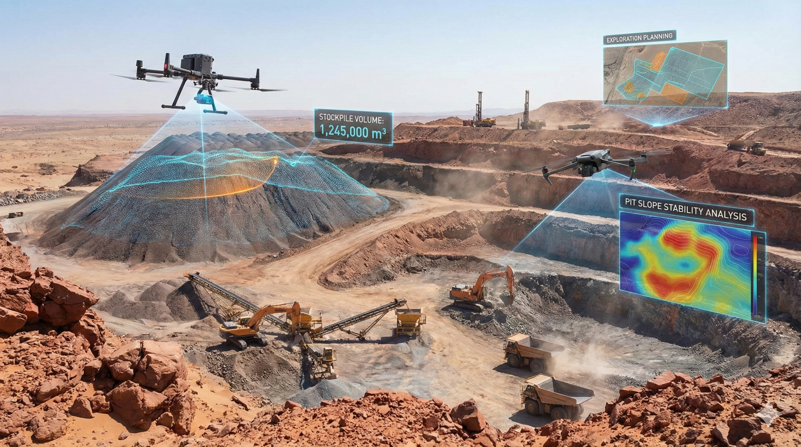
Drone technology has revolutionized mineral exploration by providing high-resolution aerial data, faster site coverage, and improved mapping accuracy.
ARIDS-KENYA combines drone surveys, remote sensing, GIS analysis, and geological expertise to help clients identify exploration targets and improve resource evaluation efficiency.
ARIDS-KENYA utilizes drone technology and geospatial intelligence to support efficient mineral exploration, geological mapping, and resource evaluation projects.
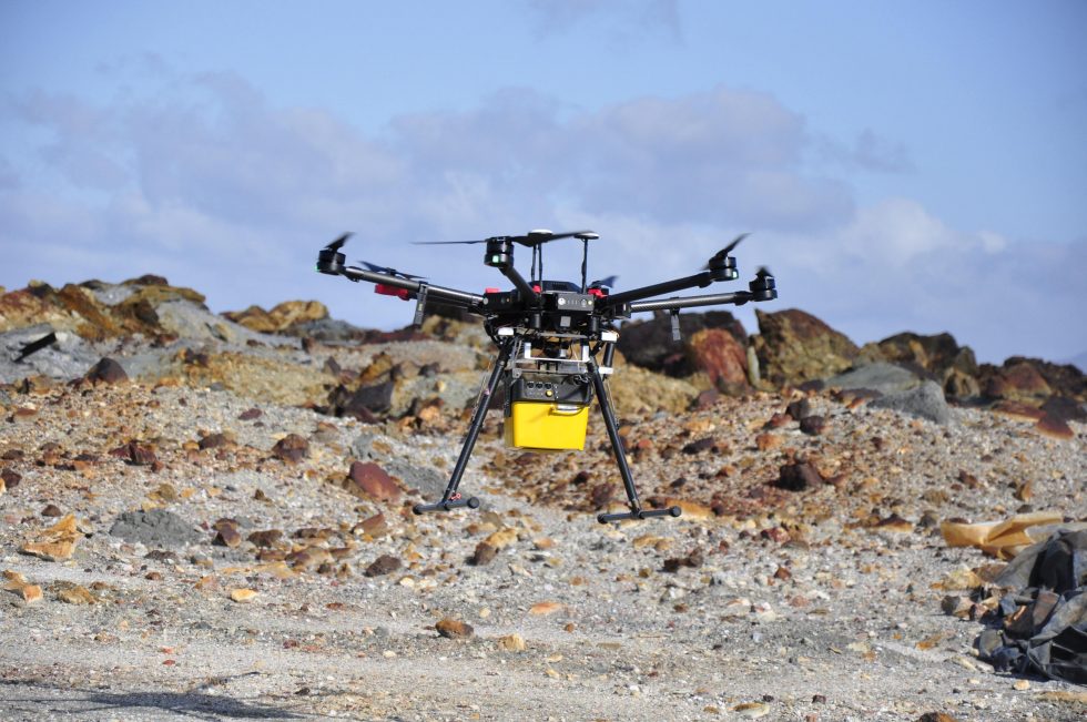
High-resolution aerial data collection for exploration and geological investigations.
Detailed mapping of geological features and mineralized zones.
Identification of geological patterns and exploration targets using advanced imagery.
Spatial analysis and visualization of exploration datasets.
Data-driven recommendations that improve exploration efficiency and decision-making.
Technical support for exploration planning and resource assessment programs.
We utilize modern aerial survey systems and analytical tools to support exploration success.
We combine innovative technologies and geological expertise to improve exploration outcomes.
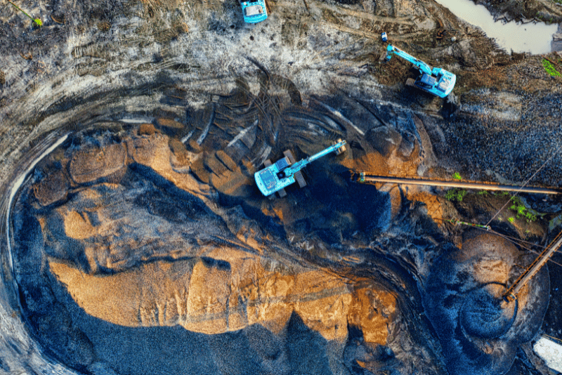
Drone surveys cover large areas quickly and efficiently.
Accurate aerial imagery improves geological interpretation and target identification.
Reduce field costs while improving data quality and operational efficiency.
Our drone-based solutions help clients explore with greater confidence and precision.
Generate detailed maps that support exploration planning and resource evaluation.
Transform aerial data into actionable exploration insights.
You can book tickets directly through our website or mobile app. Just choose your preferred park or festival, select your dates. You can book tickets directly through our website or mobile app. Just choose your preferred park or festival, select your dates.
You can book tickets directly through our website or mobile app. Just choose your preferred park or festival, select your dates. You can book tickets directly through our website or mobile app. Just choose your preferred park or festival, select your dates.
You can book tickets directly through our website or mobile app. Just choose your preferred park or festival, select your dates. You can book tickets directly through our website or mobile app. Just choose your preferred park or festival, select your dates.
You can book tickets directly through our website or mobile app. Just choose your preferred park or festival, select your dates. You can book tickets directly through our website or mobile app. Just choose your preferred park or festival, select your dates.
You can book tickets directly through our website or mobile app. Just choose your preferred park or festival, select your dates. You can book tickets directly through our website or mobile app. Just choose your preferred park or festival, select your dates.
Funfair Where thrilling rides, vibrant festivals, and endless fun come alive!
Copyright © 2026 All Rights Reserved.

ARIDS-KENYA is a leading multidisciplinary geo-engineering and environmental consultancy firm delivering innovative, reliable, and sustainable solutions in geotechnical investigations, geospatial surveys, hydrogeology, marine engineering, and infrastructure development across Africa.
Rex House, Moi Avenue, Mombasa .
Skygo Petrol Station Plaza, Makindu.
Chiromo, University Way, Nairobi.
Copyright © 2026 All Rights Reserved.